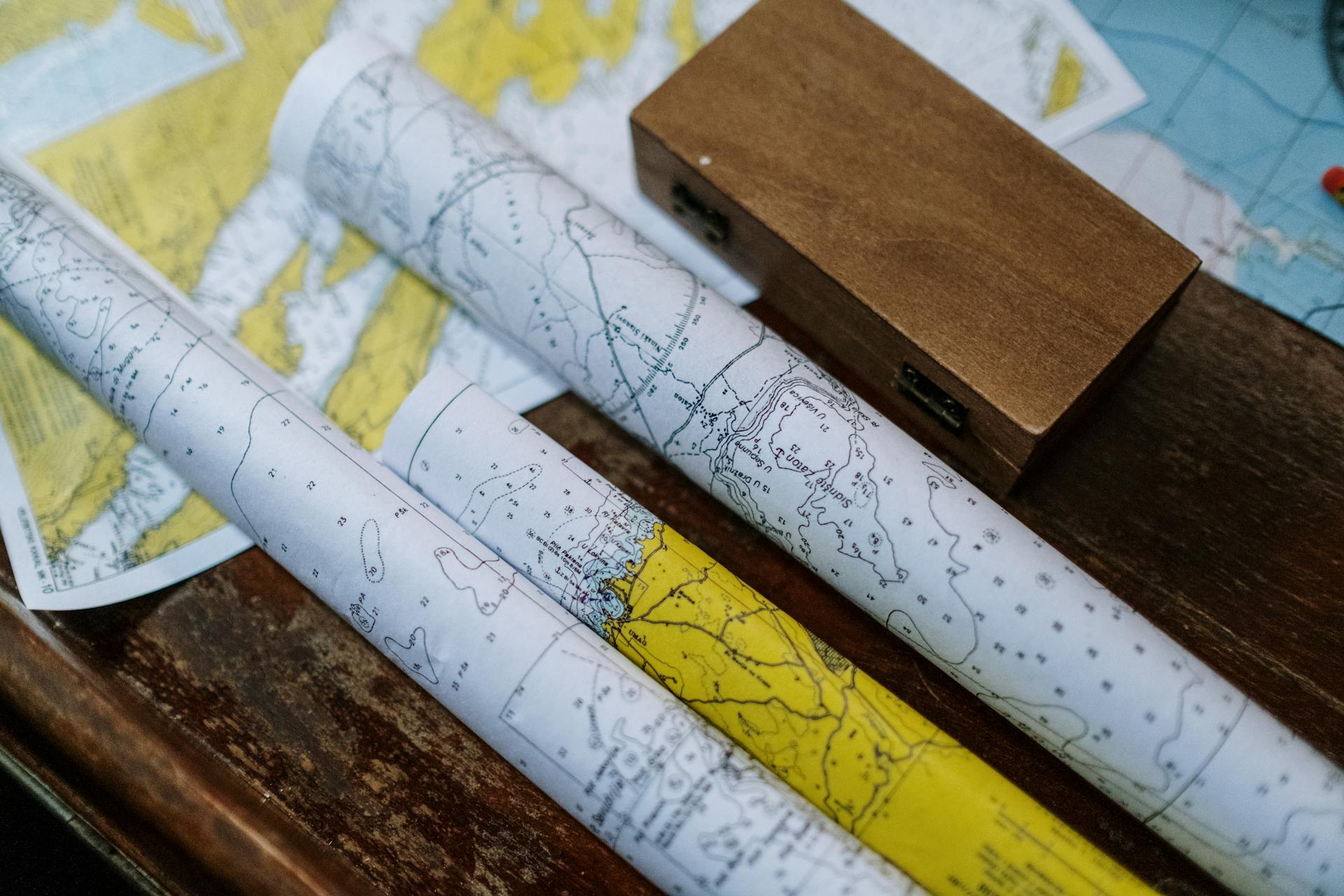
Navigating Massachusetts Boating with Tide Charts and Weather Wisdom
Ahoy, fellow seafarers! As members of our local Massachusetts boat club, we understand that mastering the art of interpreting tide charts and weather conditions is key to ensuring safe and efficient boating experiences. Allow us to guide you through some vital tips and resources that will steer you in the right direction on the high seas:
Deciphering Tide Charts
Next, step in anchoring your boat in ocean waters is to choose a suitable anchorage. You need to ensure that the area is protected from the winds and waves, has good holding ground, and has sufficient depth for your vessel. It is important to study the local charts and weather reports beforehand to find a suitable anchorage.
- Tide Times: Tide charts serve as our compass in understanding the ebb and flow of the ocean. High tides mark the peak of ocean water levels, while low tides signify the lowest point. When boating in Massachusetts, keep an eye on tide charts tailored to renowned coastal areas like Boston Harbor, Cape Cod, and the North Shore.
- Water Depth: Alongside each tide, you’ll find depth measurements in feet or meters, indicating how much the water level will ascend or descend. Boat during high tides for smoother navigation in shallow waters and exercise caution during low tides, where sandbars and rocks may lurk beneath the surface.
- Understanding Locations: Remember, tide charts are specific to each location. Always refer to the tide chart of the precise region where you plan to boat, as tides can differ across various coastal stretches. The tidal rhythms of Buzzards Bay may not harmonize with those of Plum Island.
Weathering the Elements
Wind and Sea State: Before embarking on your maritime adventures, acquaint yourself with crucial information on wind speeds, gusts, and directions. Blustery winds have the power to whip up treacherous waves, posing risks to boaters. Keep a lookout for detailed wind condition forecasts for Massachusetts coastal waters on platforms like the National Weather Service and Marine Weather Forecasts(Boatma).
- Wave Height: In addition to wind patterns, take note of wave heights and their frequency (wave period). Seeking calm seas with gentler waves is ideal for leisurely boating, while larger waves can present challenges, especially for smaller vessels.
- Storm Warnings: Don’t underestimate the importance of heeding storm advisories and small craft warnings, particularly during the summer hurricane season in New England. Stay informed about real-time updates on sea conditions and safety alerts via websites like Mass.gov(Mass.gov).
Harnessing Real-time Monitoring Tools
NOAA and Local Resources: The National Oceanic and Atmospheric Administration (NOAA) equips us with indispensable tools such as Tide Predictions and Marine Weather Forecasts. Stay abreast of up-to-date information on tides and weather conditions across various Massachusetts coastal locales(Mass.gov).
- Mobile Apps: Embrace the convenience of mobile applications like Windy and Tides Near Me, offering real-time insights into both weather conditions and tides. These user-friendly apps prove invaluable for tracking changing conditions while you’re navigating the waters.
By embracing the wisdom of tide charts and vigilantly monitoring weather conditions, you can elevate your boating escapades and ensure utmost safety as you embark on exciting voyages across Massachusetts’ pristine waters. Let’s navigate the waves together and revel in the beauty of our maritime playground!

